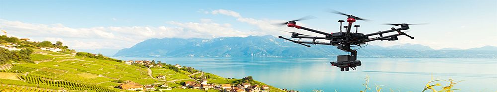
Navigation systems with photorealistic visualization of the surroundings, solutions for the precise measurement of archaeological digs or simulators use high-resolution images of the surrounding area. These are created by embedded vision systems that combine the image acquisition and information of further sensors, such as GPS data.

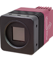
In addition to capturing images with visible light, the Photonfocus sensors used can create SWIR images or measure their surroundings precisely thanks to 3D laser triangulation, thereby guaranteeing the greatest precision.
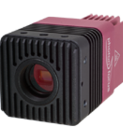
The modular embedded vision solutions from Photonfocus can be used as all-in-one components for specific applications, or, alternatively, can easily be integrated in existing devices and systems.
We will be happy to discuss any further requirements with you personally. Just get in touch.
Are you looking for the right contact in a specific region? find out if contact details for your region are available. |
Photonfocus AG
Bahnhofplatz 10
CH-8853 Lachen SZ
Schweiz
+41 55 451 00 00
info(at)photonfocus.com